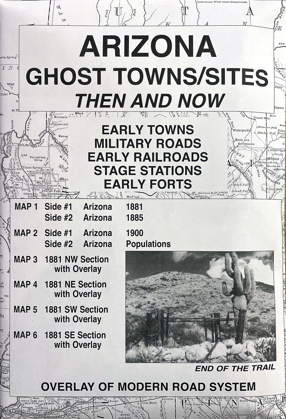
Arizona Ghost Towns/Sites: Then and Now #1865
$17.95
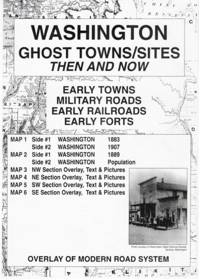
The overlay, which is used over the four sections of the 1881 map of Arizona, has been reproduced from a modern road map. The purpose is to show the changes in the state over a period of approximately 100 years. Place names may appear on the historical maps but may be absent on the current map. The reader should note that some of the early locations were moved from time to time while others changed their names or simply failed.
Accompanying text with anecdotal stories from the history of each of the four sections of the state appears on the reverse sides of maps #3-6. For example, as shown on the 1881 Arizona map, NE section, Horsehead Crossing was established in 1870 as a trading post for the Indians and early settlers. The crossing was used by the southern traffic to St. Johns, Ft. Apache and Snowflake. Two Mormon bishops, William Flake and Erastas Snow, reportedly combined their names to coin the name of Snowflake. This establishment reported a population of 500 souls in the 1880 census.
While perusing and studying the maps in this collection, readers should be reminded of the limitations of early surveyors who most likely used primitive equipment and limited cartographic knowledge. All maps in the Ghost Town series are reproduced from authentic documents on file from various archival collections such as the National Archives, Library of Congress and state libraries.
Description
Arizona Ghost Towns/Sites: Then and Now is a package, measuring 6.5″ x 9.5″ and contains six maps printed on both sides. The very readable maps measure 17.5″ x 23″ when unfolded. This package includes:
Map #1, side 1 Arizona 1881. Side 2 Arizona 1885
Map #2, side 1 Arizona 1900. Side 2 Arizona populations
Map #3, side 1 Arizona 1881 northwest section with overlay. Side 2 is text
Map #4, side 1 Arizona 1881 northeast section with overlay. Side 2 is text
Map #5, side 1 Arizona 1881 southwest section with overlay. Side 2 is text
Map #6, side 1 Arizona 1881 southeast section with overlay. Side 2 is text
Related Products
-
Montana Ghost Towns/Sites: Then and Now #1872
$17.95 Add to cart -
Idaho Ghost Towns/Sites: Then and Now #1857
$17.95 Add to cart -
Colorado Ghost Towns/Sites: Then and Now #1871
$17.95 Add to cart -
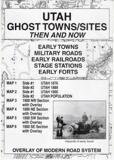
Utah Ghost Towns/Sites: Then and Now #1889
$17.95 Add to cart -
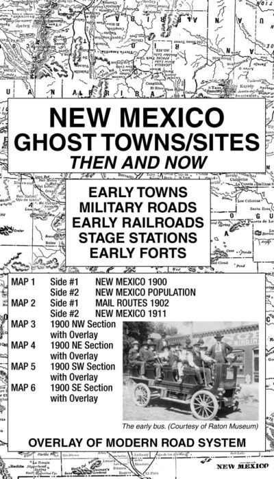
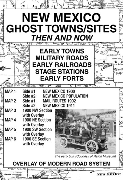
New Mexico Ghost Towns/Sites: Then and Now #1874
$17.95 Add to cart -
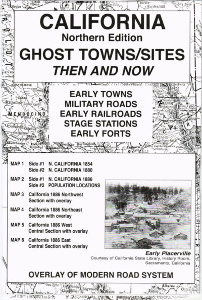
California (Northern) Ghost Towns/Sites: Then and Now #1859
$17.95 Add to cart -
Washington Ghost Towns/Sites: Then and Now #1863
$17.95 Add to cart