Arizona Gold and Gems #1864
$17.95
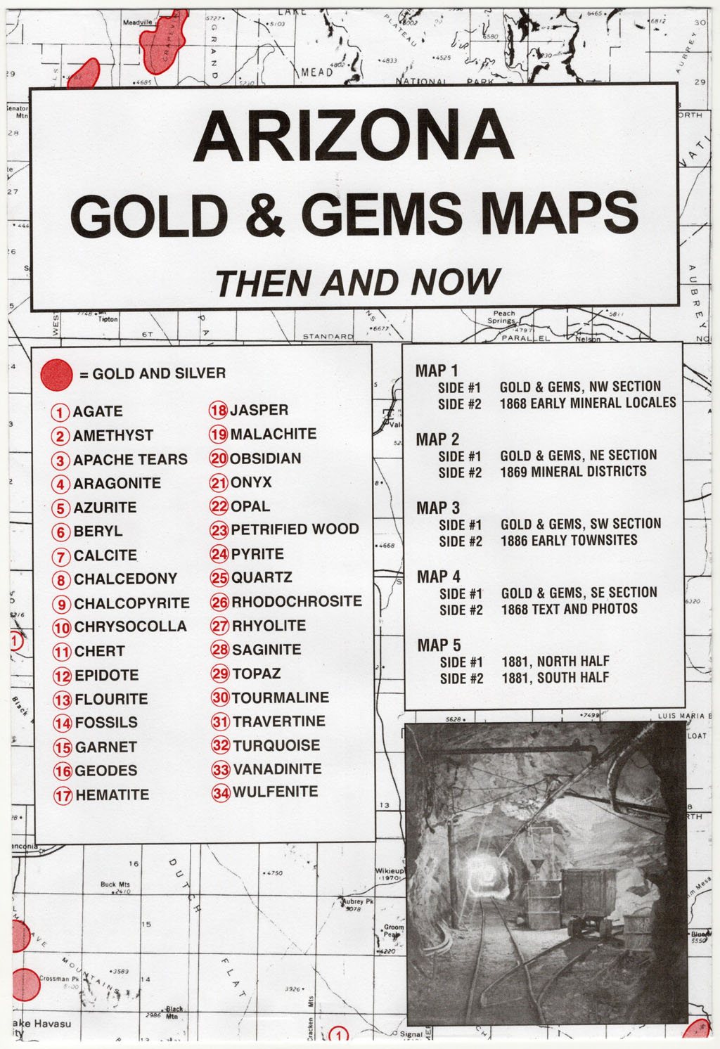
Arizona Gold and Gems Maps: Then and Now is a package of 5 maps printed on both sides. This collection of maps is intended to assist in locating gold and gem sites in Arizona and has been enjoyed by history buffs, amateur prospectors and rock hounds.
The search for gold played an important role in the development of Arizona. Early Spanish explorers entered the region and conducted silver mining activities. Although gold placer deposits were reported at the northern region of the Gila Mountains as early as 1840, they were not publicized until 1858. The discovery of gold by Capt. Pauline Weaver on the west side of the Dome Rock Mountains started a rush of activity in western Arizona.
Today…using the maps in this collection and studying the information carefully transferred onto the USGS modern day map…many gold and gem sites may be located. Besides gold and silver, locations for agates, amethyst, apache tears, chalcedony, fossils, garnets, obsidian, onyx, opals, petrified wood, pyrite, quartz, topaz and turquoise can be discovered — just to name a few of the 34 gem site locations listed!
The source of information has been taken from numerous authentic documents and publications. The early maps have been reproduced from original maps located in various archival collections such as The National Archives, the Arizona Geological Survey and the State of Arizona Department of Mines and Minerals. The U.S. Geological Survey supplied the featured modern map. The design is planimetric for clarity.
Description
Arizona Gold and Gems: Then and Now is a package of five maps, measuring 6.5″ x 9.5″ printed on both sides. The very readable historical maps measure 17.5″ x 23″ when unfolded. Maps have been reproduced from authentic documents on file from archival sources — 100 years of reported gold and gems occurrences included; red numbered guide shows 34 gem site locations. This package includes:
Map #1, side 1 is of the NW Section. Side 2 is a map of 1868 showing early mineral locales
Map #2, side 1 is of the NE Section. Side 2 is a map of 1869 showing the mineral districts
Map #3, side 1 is of the SW Section. Side 2 is a map of 1886 showing early town sites
Map #4, side 1 is of the SE section. Side 2 is an 1868 map with text and photos
Map #5 is a map of 1881 with the north half on side 1 and the south half on side 2
Related Products
-
Idaho Gold and Gems #1856
$17.95 Add to cart -
Washington Gold and Gems #1862
$17.95 Add to cart -
Oregon Gold and Gems #1861
$17.95 Add to cart -
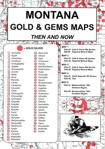
Montana Gold and Gems #1873
$17.95 Add to cart -
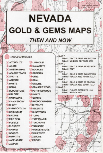
Nevada Gold and Gems #1868
$17.95 Add to cart -
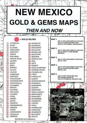
New Mexico Gold and Gems #1875
$17.95 Add to cart -
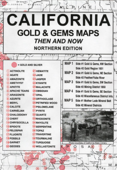
California Gold and Gems (Northern) #1858
$17.95 Add to cart -

Colorado Gold and Gems #1870
$17.95 Add to cart