Oregon Gold and Gems #1861
$17.95
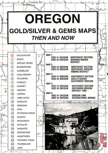
“It’s gold!”, a cry that was responsible for the development of many desolate areas of Oregon that were later to become ghosts of the past. This collection of maps should prove valuable as a field guide. These maps have been all been reproduced from authentic documents on file in various archival collections. Great care has been taken when transferring the information to more recent maps of better quality. This collection will enable the reader to locate sites where known deposits were reported as well as much current information.
Mining of placer gold began in southwestern Oregon in 1850 and in northeastern Oregon in 1862. Gold was the primary reason for the settlement of these two regions. Between 1850 and 1965, gold production was roughly 5.8 million fine ounces and silver was 5.4 million ounces. 60% of this reported production occurred prior to 1900.
Geologically distinct segments of mineralized regions are well displayed by the shaded areas on the USGS maps. A wide variety of rocks, minerals and semi-precious gems is available for collecting on approximately 16 million acres of lands managed by the U.S. Bureau of Land Management (BLM) in Oregon and Washington. Although not every type of material has been included, this map collection depicts 24 different types of gems (not including gold or silver) such as agate, apache tears, bloodstone, carnelian, chalcedony, feldspar, fossils, garnet, geodes, jasper, obsidian, quartz, sunstones, thunder eggs and jade. Most BLM lands are open to rock collecting, and some areas such as the Glass Buttes obsidian area in the Prineville District and a public sunstone area in the Lakeview District have been specifically set aside for this purpose. It’s always a good idea to check with the local BLM office for more detailed information before starting out on your collecting excursion.
Description
Oregon Gold & Gems Maps: Then and Now is a package, measuring 6.5″ x 9.5″, containing five maps printed on both sides . The very readable maps measure 17.5″ x 23″ when unfolded. This package includes:
Map #1, side 1 is of the NW Section. Side 2 is a map showing the Bohemia Mining District
Map #2, side 1 is of the NE Section. Side 2 is a map showing the mining district of NE Oregon
Map #3, side 1 is of the SW Section. Side 2 is shows gold placers in SW Oregon
Map #4, side 1 is of the SE section. Side 2 is a 1904 map of the Southern Oregon District
Map #5 is a map of 1900. Side 2 features recreational mining
Related Products
-
California Gold and Gems (Northern) #1858
$17.95 Add to cart -

Colorado Gold and Gems #1870
$17.95 Add to cart -
Idaho Gold and Gems #1856
$17.95 Add to cart -
Washington Gold and Gems #1862
$17.95 Add to cart -
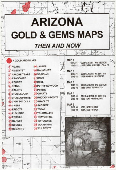
Arizona Gold and Gems #1864
$17.95 Add to cart -
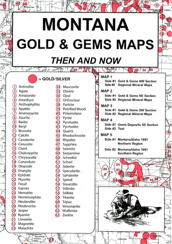
Montana Gold and Gems #1873
$17.95 Add to cart -
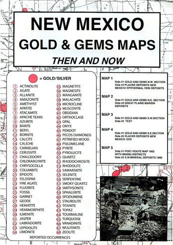
New Mexico Gold and Gems #1875
$17.95 Add to cart -
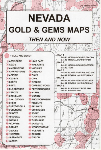
Nevada Gold and Gems #1868
$17.95 Add to cart