
Idaho Ghost Towns/Sites: Then and Now #1857
$17.95
The Idaho Ghost Towns/Sites packages features a transparent overlay printed from a modern Idaho road system and placed over the three sections of the 1895 map of Idaho. The purpose is to show the changes in the state over a period of approximately 100 years. Place names may appear on the historical maps but may be absent on the current map. The reader should note that some of the early locations were moved from time to time while others changed their names or simply failed. The reader should be reminded that some of the early place names might have been a post office operated in a ranch house or an early stage station as well as town sites. Some locations were moved from time to time while others changed their names or simply failed.
Accompanying text with anecdotal stories from the history of each of the three sections of the state appears on the reverse sides of maps #3-5. For example, the town site of Florence, located in the northern section of the 1895 map, was settled in 1861 following the discovery of a placed deposit in the area. it was first identified as Millersburg after a nearby creek. It has been reported that Joaquin Miller, an early prospector, panned $100 worth of gold in one afternoon — an amazing amount of money for the late 1800’s!
While perusing and studying the maps in this collection, readers should be reminded of the limitations of early surveyors who most likely used primitive equipment and limited cartographic knowledge. All maps in the Ghost Town series are reproduced from authentic documents on file from various archival collections such as the National Archives, Library of Congress and state libraries.
Description
Idaho Ghost Towns/Sites: Then and Now is a package, measuring 6.5″ x 9″, containing five maps of the state of Idaho. The very readable maps (measuring 18″ x 24″ unfolded) were selected for quality, age and location details. This package includes:
Map #1, side 1 Idaho 1879. Side 2 Idaho 1883
Map #2, side 1 Idaho 1895. Side 2 Idaho 1912
Map #3, side 1 Idaho 1895 northern section with overlay. Side 2 is text
Map #4, side 1 Idaho 1895 southwest section with overlay. Side 2 is text
Map #5, side 1 Idaho 1895 southeast section with overlay. Side 2 is text
Related Products
-
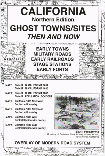
California (Northern) Ghost Towns/Sites: Then and Now #1859
$17.95 Add to cart -
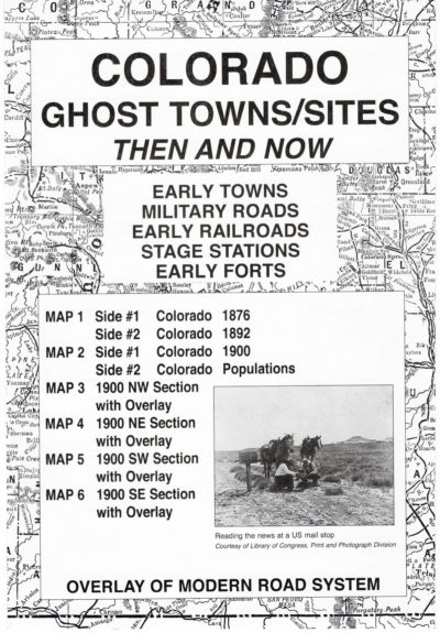
Colorado Ghost Towns/Sites: Then and Now #1871
$17.95 Add to cart -
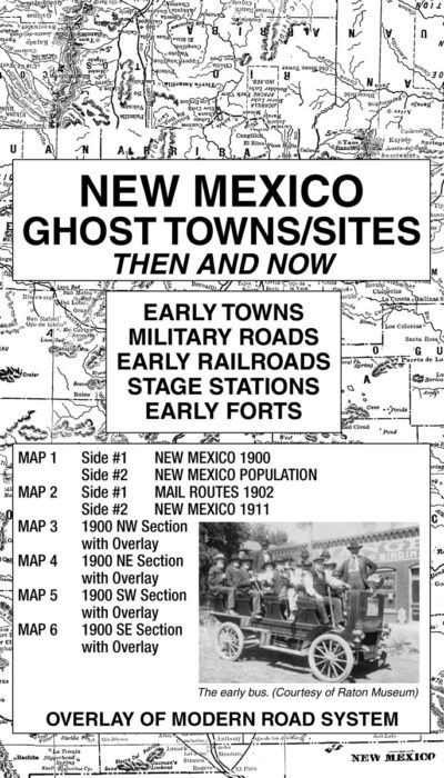
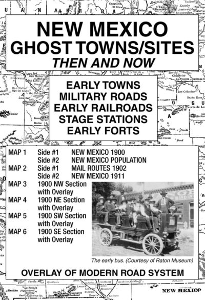
New Mexico Ghost Towns/Sites: Then and Now #1874
$17.95 Add to cart -
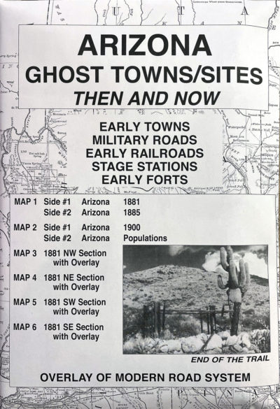
Arizona Ghost Towns/Sites: Then and Now #1865
$17.95 Add to cart -
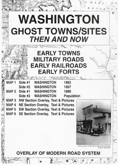
Washington Ghost Towns/Sites: Then and Now #1863
$17.95 Add to cart -
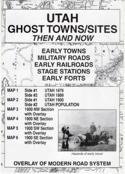
Utah Ghost Towns/Sites: Then and Now #1889
$17.95 Add to cart -
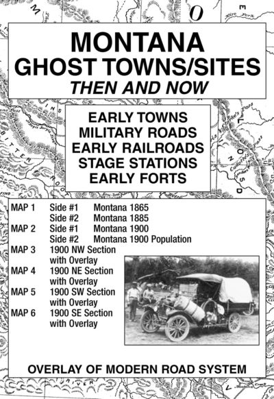
Montana Ghost Towns/Sites: Then and Now #1872
$17.95 Add to cart