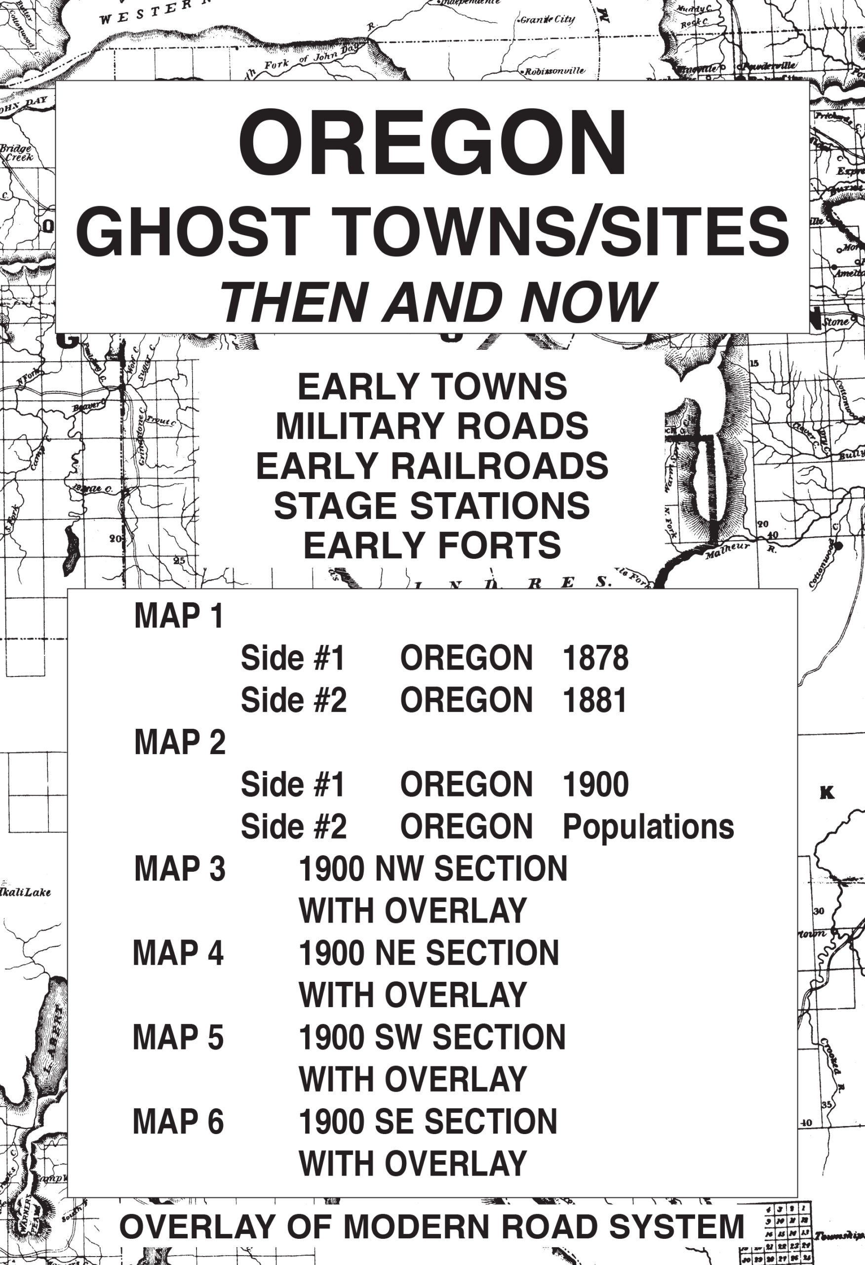
Oregon Ghost Towns / Sites: Then and Now #1860
$17.95
The overlay, which is used over the four sections of the 1900 map of Oregon, has been reproduced from a modern road map. The purpose is to show the changes in the state over a period of approximately 100 years. Place names may appear on the historical maps but may be absent on the current map. The reader should note that some of the early locations were moved from time to time while others changed their names or simply failed.
Accompanying text with anecdotal stories/information from the history of each of the four sections of the state appears on the reverse sides of maps three through six. For example, the town of Leap in Wallowa County was established as a post office in a ranch house in 1892. The name was chosen because it was a leap year.
While perusing and studying the maps in this collection, readers should be reminded of the limitations of early surveyors who most likely used primitive equipment and limited cartographic knowledge. All maps in the Ghost Town series are reproduced from authentic documents on file from various archival collections such as the National Archives, Library of Congress, and state libraries.
Description
Oregon Ghost Towns/Sites: Then and Now is a package of 6 maps printed on both sides. This package includes:
- Map #1, side 1 Oregon 1878. Side 2 Oregon 1881
- Map #2, side 1 Oregon 1900. Side 2 Oregon populations
- Map #3, side 1 Oregon 1900 NW section with overlay. Side 2 is text
- Map #4, side 1 Oregon 1900 NE section with overlay. Side 2 is text
- Map #5, side 1 Oregon 1900 SW section with overlay. Side 2 is text
- Map #6, side 1 Oregon 1900 SE section with overlay. Side 2 is text
The acetate overlay, which is used over the four sections of the 1900 map of Oregon, has been reproduced from a modern road system. The purpose is to show the changes in the state over a period of approximately 100 years. Place names may appear on the historical maps but may be absent on the current map. The reader should note that some of the early locations were moved from time to time while others changed their names or simply failed. Accompanying text with anecdotal stories/information from the history of each of the four sections of the state appears on the reverse sides of maps three through six. For example, the town of Leap in Wallowa County was established as a post office in a ranch house in 1892. The name was chosen because it was a leap year. All included maps have been reproduced from authentic documents on file from various archival collections such as the National Archives, Library of Congress and state libraries.
The companion title Oregon Gold & Gems: Then and Now is a package of five maps showing the locations of gold and gem deposits throughout the state. All rockhound enthusiasts, history buffs, amateur prospectors interested in the state of Oregon will surely want to own both titles!
Related Products
-
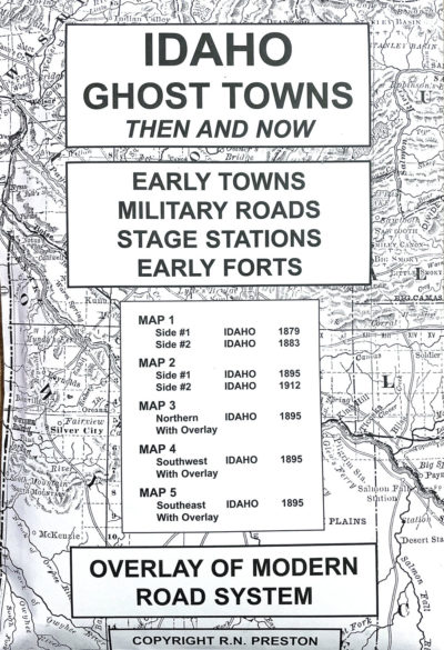
Idaho Ghost Towns/Sites: Then and Now #1857
$17.95 Add to cart -
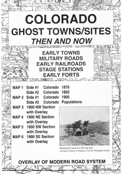
Colorado Ghost Towns/Sites: Then and Now #1871
$17.95 Add to cart -
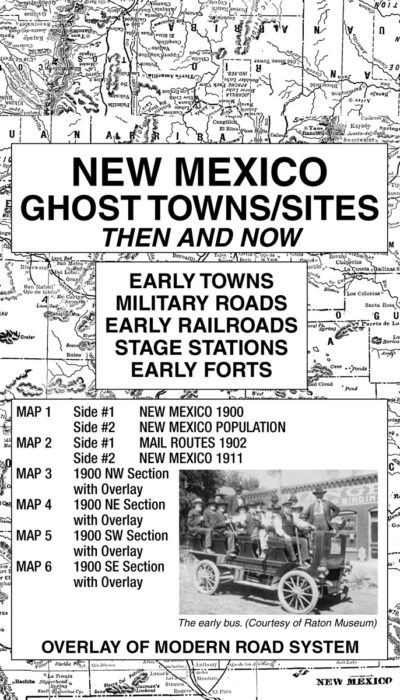
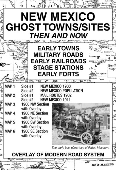
New Mexico Ghost Towns/Sites: Then and Now #1874
$17.95 Add to cart -
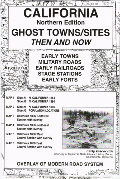
California (Northern) Ghost Towns/Sites: Then and Now #1859
$17.95 Add to cart -
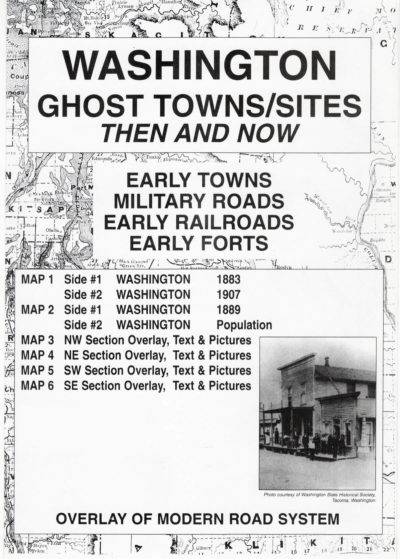
Washington Ghost Towns/Sites: Then and Now #1863
$17.95 Add to cart -
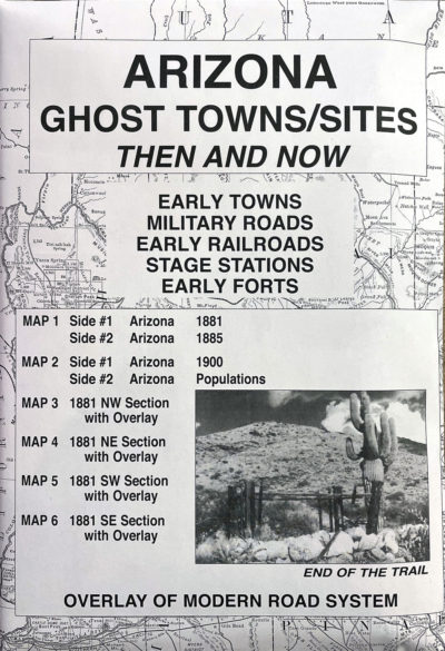
Arizona Ghost Towns/Sites: Then and Now #1865
$17.95 Add to cart -
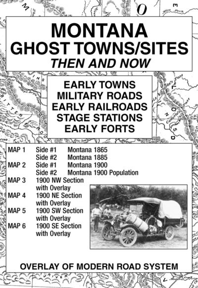
Montana Ghost Towns/Sites: Then and Now #1872
$17.95 Add to cart -
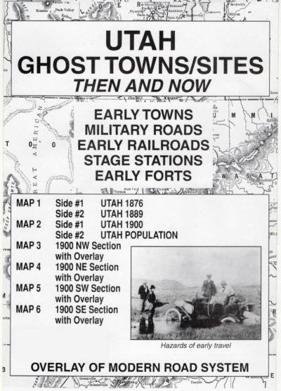
Utah Ghost Towns/Sites: Then and Now #1889
$17.95 Add to cart